Reply With Quote
And today's forecast for the next level (up) in wind strength:


Nothing like the Caribbean or the USA, but it could get windy out west:
See:
Last edited by PickleB; 11th October 2017 at 19:51.
And today's forecast for the next level (up) in wind strength:
Poor Southern Ireland!
Could be interesting, I'm off to south-west Cornwall tomorrow for a couple of days.
I and a group of fellow bikers meet up for a biennial camping weekend down near Porthcurno and the venue is on the edge of the coast. To say we've had some extreme and variable weather there is an understatement.
R
Ignorance breeds Fear. Fear breeds Hatred. Hatred breeds Ignorance. Break the chain.
Originally Posted by ralphy

Better keep an eye on the Met Office site: link. You're currently on a Yellow warning for wind:
Between 12:00 Mon 16th and 23:55 Mon 16th
A spell of very windy weather is likely on Monday in association with ex-Ophelia. Road, rail, air and ferry services may be affected, with longer journeys times and cancellations possible. Power cuts may occur, with the potential to affect other services, such as mobile phone coverage. Some damage to buildings, such as tiles blown from roofs could happen, perhaps leading to injuries and danger to life from flying debris. Coastal routes, sea fronts and coastal communities may be affected by spray and/or large waves.
Oops...Ophelia has increased from Cat 2 to a Cat 3 hurricane, but it's still expected to degrade before reaching the British Isles.


Hopefully so as due to impact us in Northern Ireland.Last storm we had a tree fell and just clipped rear of my car.
Northern Ireland...currently that puts you somewhere between the H (hurricane) and the S (storm):
Long term forecasts project another storm over the UK and Holland next weekend. Named Phillipe? Predicted 50+ knots gutst on Saturday. Interesting...
E.g. Lands End this week...
https://nl.windfinder.com/forecast/lands_end
Menno
Last edited by thieuster; 14th October 2017 at 18:52.
It seems that, at least, one model predicts that the remains of Ophelia will reach the UK-Iceland Gap and do something strange. See link. We'll have to see what happens (there are other models).

There is a chance it could shift further east and hits Wales instead!
And it has now arrived on sat24 infrared, see here. https://en.sat24.com/en
The Shipping Forecast:
Issued at 0405 UTC on Sunday 15 October 2017
For the period 0600 UTC Sunday 15 October to 0600 UTC Monday 16 October 2017
The general synopsis at midnight. Low Rockall 995 expected 400 miles northeast of Faeroes 985 by midnight tonight. Hurricane ophelia 370 miles west of Trafalgar becoming extra tropical expected Fitzroy 961 by same time
You don't often hear that!
Nor this:
Sole
Gale warning - Issued: 0339 UTC on Sunday 15 October 2017
Northerly gale force 8 expected soon, backing westerly and increasing hurricane force 12 later
Wind South 5 or 6, becoming cyclonic severe gale 9 to violent storm 11, occasionally hurricane force 12 later.
Sea state Moderate or rough, becoming high or very high later.
Weather Rain or showers.
Visibility Moderate, occasionally poor.
And the RED coloured Sea Areas on the shipping forecast map is something we don't see often as well!
At the same time, on the Continent along with Ophelia comes a ton of very fair weather. Temps are in the mid 20s today! Nearly an all time high for The Netherlands. I am off to a very posh yachtclub later this morning where my son's sailing team has planned a training - I'll be on the Club's restaurant terrace trying to get the last tan of this year!
Menno
I live in the SW. My local BBC report for tomorrow afternoon is showing as 19c, sunny and 53mph winds. It will be interesting to experience near storm force winds in bright sunshine.
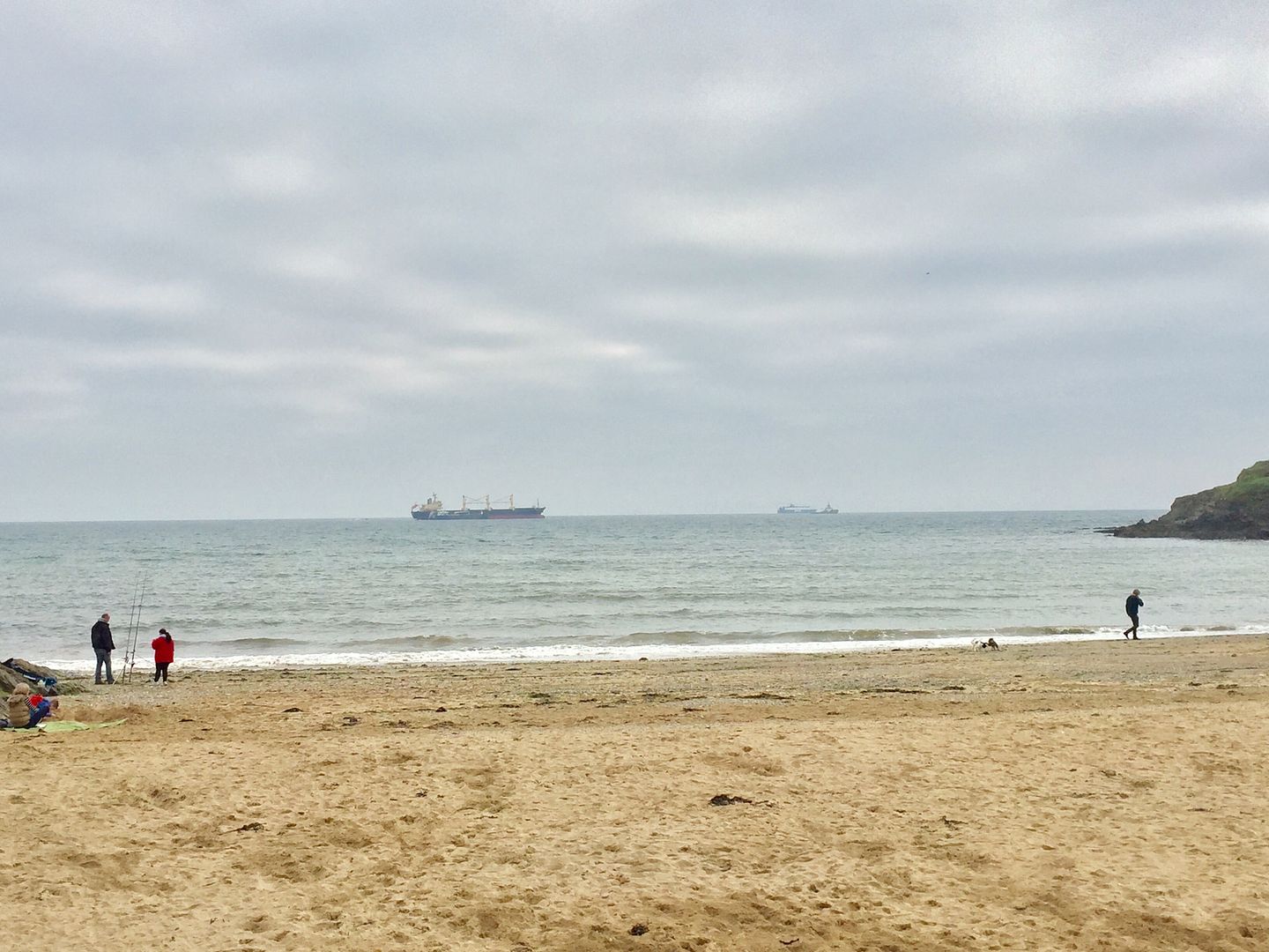
Currently in south-west Cornwall there's hardly a breeze.
Perhaps the calm before the storm?
R
Ignorance breeds Fear. Fear breeds Hatred. Hatred breeds Ignorance. Break the chain.
Now:
https://earth.nullschool.net/#curren....84,50.80,1300
Same time tomorrow:
https://earth.nullschool.net/#2017/1....80,47.83,1434
R
Ignorance breeds Fear. Fear breeds Hatred. Hatred breeds Ignorance. Break the chain.
Link; Earliest Reasonable Arrival Time of Tropical-Storm-Force Winds:
Click on the link and select an option to see the Most Likely times etc...
Standing outside sipping Estrella, can't feel a thing. Hopfully it will pass without causing any damage..
Fas est ab hoste doceri
No worries in Scotland...............
Seen worse.
I've only today realised that the charts/pictures I've posted above are changing as the NOAA NHC (www.hurricanes.gov) updates their latest forecast.
Their site does archive the old charts and even presents them as an animation, eg this link.
Edit: Storm Tracker shows Ophelia moving east of the predicted track...
At least she's now down to a cat 1 hurricane and will continue to decrease in strength...or so they say.
Last edited by PickleB; 15th October 2017 at 22:06.
This is live: https://earth.nullschool.net/#curren...=-4.995,50.243
And you can use the Earth function to predict the path.
R
Ignorance breeds Fear. Fear breeds Hatred. Hatred breeds Ignorance. Break the chain.
From their 'about' link: "a visualization of global weather conditions forecast by supercomputers updated every three hours"...much like other weather forecasts.
At the bottom of the 'about' page is a list of useful keyboard shortcuts.
Last edited by PickleB; 15th October 2017 at 22:13.
What a brilliant resource that is! Quite mesmerising to watch the flow of it all.
The winds picked up where I'm staying in the last two hours, but looking at the predicted track on there it's south west Ireland that'll be getting it the worst.
R
Ignorance breeds Fear. Fear breeds Hatred. Hatred breeds Ignorance. Break the chain.
Calm here in N/Wales, too dark,more than normal, some rain. Sky a nasty 'puss coloured' yellow. Yeuch..
N Wales is on an Amber Alert from 12:00 23:00 (link).
As others have noted, ex-Ophelia has turned north and doesn't look likely to make a direct landfall in Ireland, but its periphery will have strong winds and will certainly have an effect.
It's been raining this morning so we didn't get the predicted sunshine and there's any eerie yellow-grey haze.
Getting quite blowy here in East Hampshire (perfect, with a bit of sun, for drying clothes and my dive gear), but looking at that link, it must be a bit lairy in Southern Ireland right now!
M
Crazy sky in Dorset. An hour ago we had sun one side and a yellow/grey sky the other. Little wind to speak of yet but the sky has a most extraordinary coloured glow to it.
The sky is a very weird ominous orange here, like dusk or an eclipse..!
These Met Office types.....they're liking the druks....no?
Another cracking resource for live tracking of this: https://www.ventusky.com/?p=52.1;2.0;4&l=gust
Overcast here, orangey grey sky, but I think the storm will miss us in Darlington..😐
It suddenly got so dark that the street lights came on! I started a new job today, all of my colleagues are based in Belfast and have been sent home. Fortunately I don't have to travel further than my office upstairs.
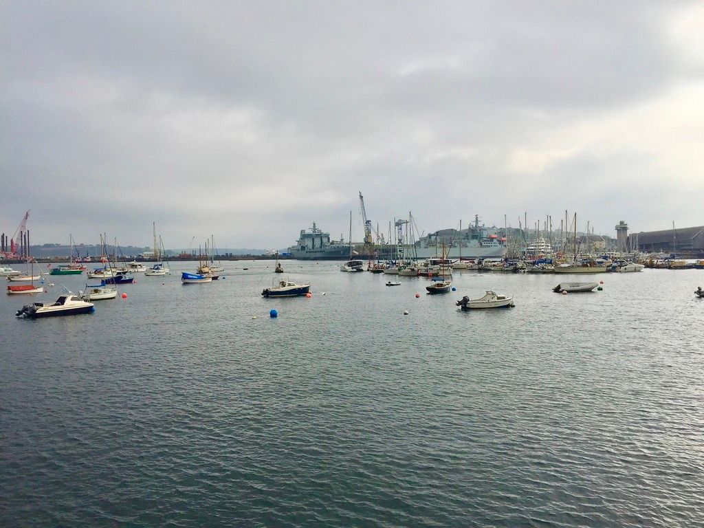
South Cornwall, right now:
Its blustery, but the wind is warm.
R
Ignorance breeds Fear. Fear breeds Hatred. Hatred breeds Ignorance. Break the chain.
Strangely calm in Co Armagh right now - but my friends in Co Kerry, they live on the cliff side overlooking Dingle. Just got a message saying "we're getting hammered right now".
Guinness. The answer to all problems.
Lovely, Burgh Island ?
That does look good...now bookmarked.
Here's another, but for rain radar only: www.rainviewer.com.
Edit: I've just www.ventusky.com has sea state (link)...with options...amongst many other factors. Very good indeed.
Last edited by PickleB; 16th October 2017 at 12:14.
That's in South Devon.
I'm in Standish, just of M6 Jn27.
An elevated location, and it's gusting maybe 35-40 Mph.
The sun turned red earlier, apparently this was caused by Sahara sand blown in by Ophelia. There's now bright sunshine with a light breeze and not the predicted 50mph gusts.
Very odd light here in Oxfordshire, the sun is very pink although it went very dark earlier.
Monty the Rhino is enjoying the wind but his girls and young ones all ran back inside.
There was a C17 dipping in and out of the clouds earlier too, looked great.

Plenty of roofs gone and trees down in Ireland, eg link found in local news:
Edit: BBClink to Red sun phenomenon.
Last edited by PickleB; 16th October 2017 at 14:12.
Very orange sky in south derbyshire. I heard the storm whipped up some sand over africa hence the orange sky.
Judging from the amount of sand on my car just now.... Absolutely right!
One fatality so far. Waterford if I recall rightly, from a tree falling on their car.
Just been to the shops there and won't be venturing back out. Big gusts now and a few trees toppling on my local roads.
Really odd colouring to the light here in north Bucks. Definitely a lot of sand/debris up there somewhere.
Dave E
Skating away on the thin ice of a new day
Looks the sky in an old Quatermass series here!
M
Very odd sandy-yellow light here in London, too. Light gusty wind and very humid.
** Update**
15:09: In the last few minutes it has started to turn really, really orange and to get much darker overall. Wind picked up a bit too.
16:13: In the last 15 minutes it's returned to near normal lighting colour. The yellow layer of cloud was clearly visible as a distinct mass of cloud as it moved away in an easterly direction and was replaced by the usual washed out white overcast (still with a slight tinge of yellow, though).
Last edited by markrlondon; 16th October 2017 at 16:13.
Very strange yellow tinted light here in Central Bedfordshire also - like everywhere has a sepia tone filter on it...
So clever my foot fell off.
 Posting Permissions